Public Rights of Way
Public Rights of Way give a right of access for members of the public over land in private ownership, providing them access to countryside they can enjoy.
Responsibility for paths in the countryside is divided between landowners and the council, but responsible use of the countryside by the public is equally important.
Information for users can be found in the Countryside Codes.
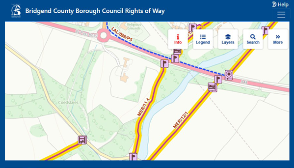
Definitive Map of Public Rights of Way
View routes and designations of the paths within the county borough on the Definitive Map of Public Rights of Way.
Public Path Orders and Temporary Closures
Make an application to divert extinguish or temporarily close a Public Right of Way.
Definitive Map Modification Orders
Make an application to modify the Definitive Map.
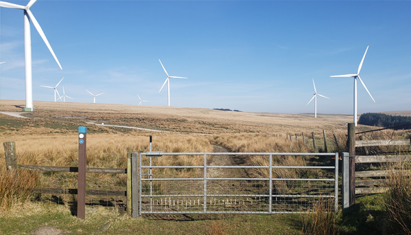
About Rights of Way
Bridgend County Borough is covered by a network of over 808 individual public rights of way, just over 612km, which vary in the rights and type of user that can use them.
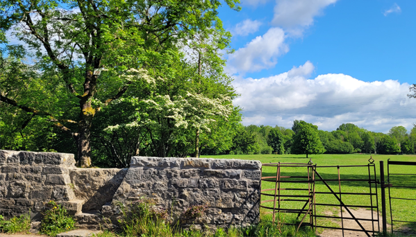
Roles and Responsibilities
Information about the roles and responsibilities for Public Rights of Way.
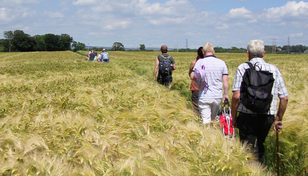
Local Access Forum
Find out more about the Bridgend Local Access Forum.
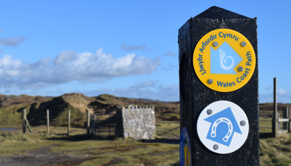
Wales Coast Path
The Wales Coast Path takes in stunning scenery spanning 870 miles - making it the largest continuous coastal path in the world.
Visit Bridgend
Bridgend County Borough has a vibrant mix of outdoor adventure, family-friendly events, and cultural exploration. From coastal thrills to peaceful nature reserves.
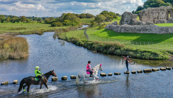
The Great Glamorgan Way
Criss-crossing five counties in South Wales, the Great Glamorgan Way is a magnificent network of connected bridleways and cycle paths taking in all that is great in the counties of Bridgend, Cardiff, Vale of Glamorgan, Rhondda Cynon Taf and Merthyr Tydfil.